Fog moving in (UPDATED)
Published 11:39 am Wednesday, December 29, 2010
Slow down, use your headlights and leave plenty of distance in front of you while driving.
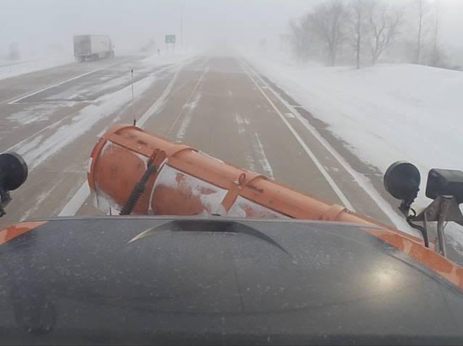
That’s the advice the National Weather Service was doling out to drivers during their afternoon commutes home on Wednesday as Freeborn County remained under a dense fog advisory until 11 a.m. Thursday.
At 3:30 p.m. Wednesday, visibilities were reported at 1/4 mile. By 9 p.m., some of the fog had lifted with visibilities at 1 1/4 miles.
While temperatures were holding steady above the freezing level at 34 degrees into Wednesday evening, roadways were slippery and several cars were reported in ditches around the county. The Minnesota Department of Transportation was listing area roads in fair driving conditions, with blowing snow and icy patches in places.
As areas of dense fog developed across south central portion of the state Wednesday afternoon, Freeborn County was also included in a hazardous weather outlook issued by the National Weather Service.
The first round of winter weather was expected to arrive later Wednesday night in the form of freezing drizzle and light rain.
This mix could change into snow over west central Minnesota by Thursday afternoon. Snow accumulations of one to three inches are also possible from Little Falls to Granite Falls.
Rain could turn to snow on Friday as a second storm front is predicted to blow in. Roads could get slick as temperatures drop from the low 30s in the morning to mid-teens by afternoon.
The hazardous outlook also included Waseca, Steele, Blue Earth and Faribault counties.
In addition, the National Weather Service issued a dense fog advisory for Mower County along with Worth and Winnebago counties in north Iowa, in effect until 6 p.m. Thursday.


